Menu
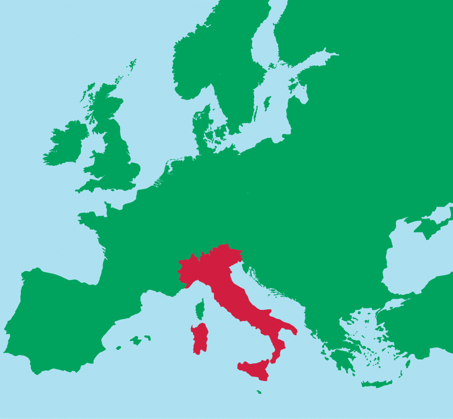
Italy is centrally positioned in Europe longitudinally (i.e., east–west). It has a southerly position in latitude and extends into and dominates the central Mediterranean Sea.
 The country’s shape is instantly recognizable. The main peninsula resembles a boot, with two large islands to its south.
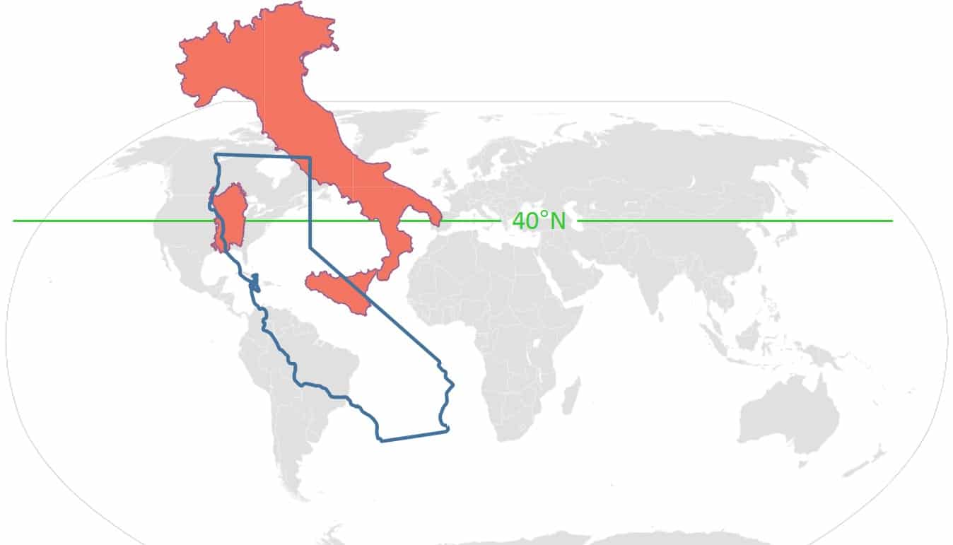
Italy is similar in length to California, but not as wide. It is also located farther north than California. The illustration below shows their positions relative to the 40th parallel of north latitude. The warmth of the Mediterranean relative to the Pacific Ocean keeps Italy’s climate more temperate than its latitude would indicate.
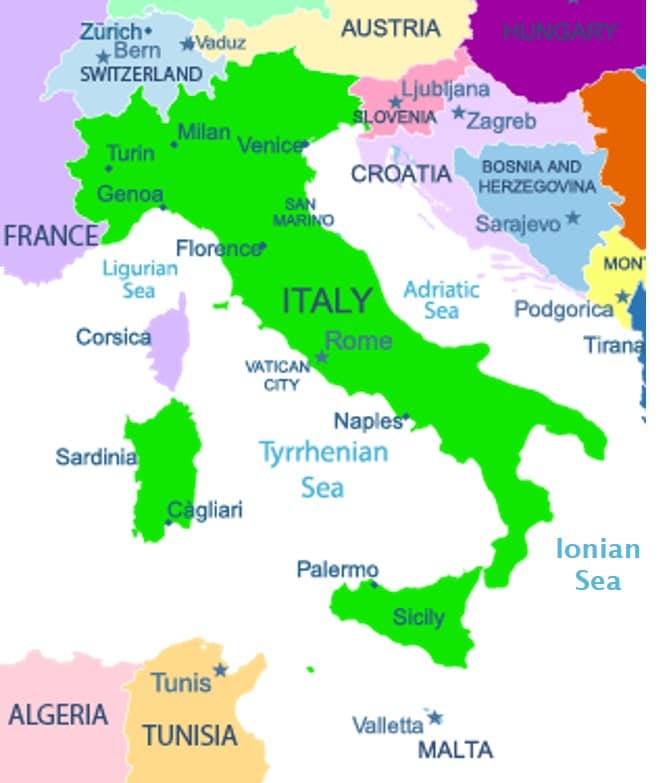 Italy borders on four countries:
plus two small principalities, San Marino and the Vatican City, which lie entirely within Italy’s borders.
Everywhere else, Italy is surrounded by the Mediterranean Sea. Specific basins of the Mediterranean Sea go by various names. Around Italy are:
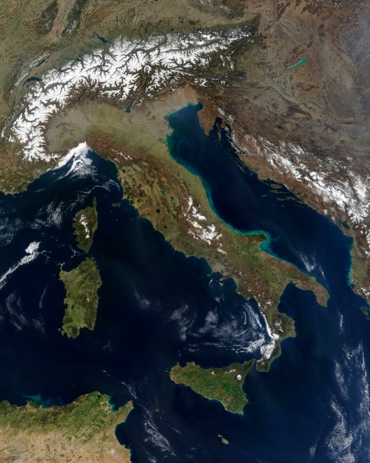
The majority of Italy is covered with mountains, most of which are part of two ranges. The Alps run along the entire northern border. The Apennines run the length of the peninsula. The islands are also covered with rugged mountains.
The only large plains are located across the north end of the peninsula, formed in large part by Italy’s largest river, the Po, and extending across the top of the Adriatic Sea coast. There is also a smaller flat area running down the heel of the boot.
Next topic: Climate of Italy